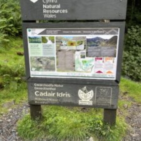
Leaving campsite at 8.30am after a good breakfast the National Trust car park was found approx. 3 miles away adjacent to the A4405, just off the A487 between Dolgellau and Machynlleth.
The cost of parking was £3 for 3 hours or £6 till midnight, thankfully the machines were out of order, free parking (took photo of machines as evidence).
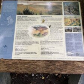
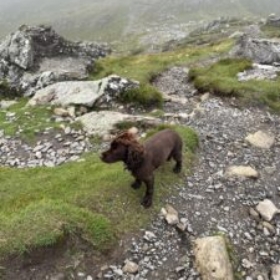
With a backpack consisting of food, and plenty of fluids for Luna and myself we set off at just before 9am taking the Minffordd Path which is classed as hard/strenuous, 9km with an ascent of 2,585 feet (788 meters).
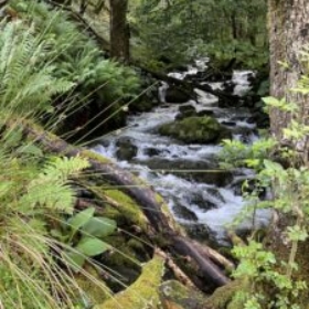
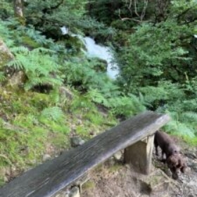
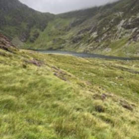
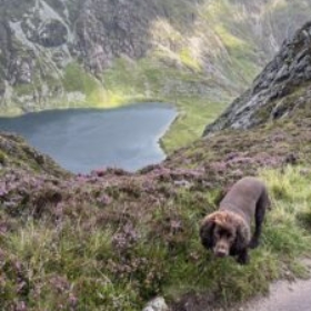
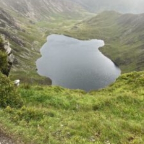
The route is reasonably easy to follow at the beginning with the waterfalls to the right hand side of the steep stone path. Following the ordnance survey map downloaded the path then wraps around Llyn Cau.
The path then became steep and we were in cloud with poor visibility, still following the worn path eventually we came to a bridge stile where I thought we had reached the peak. This is the summit of Craig Cau.
With poor visibility we stopped and started to have lunch, when a young couple appeared and informed me that we were still some distance from the summit.
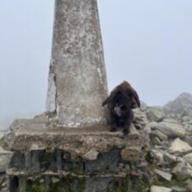
We followed due to the poor visibility and dropped down before climbing a further 20 minutes to the summit where we finished lunch tucked down next to a stone building shielded from the wind.
After around 15 minutes we started the descent following the same route as we had just climbed.
The walk took around 6 hours and unfortunately due to the weather conditions on the day had no view from the top of the mountain.
We arrived back in the car park at 2.25pm nearly 5 and a half hours after setting off.
Cadair Idris
Posted in Uncategorized.
